Emesent
Hovermap
2018
Research, Concept, Development + Production
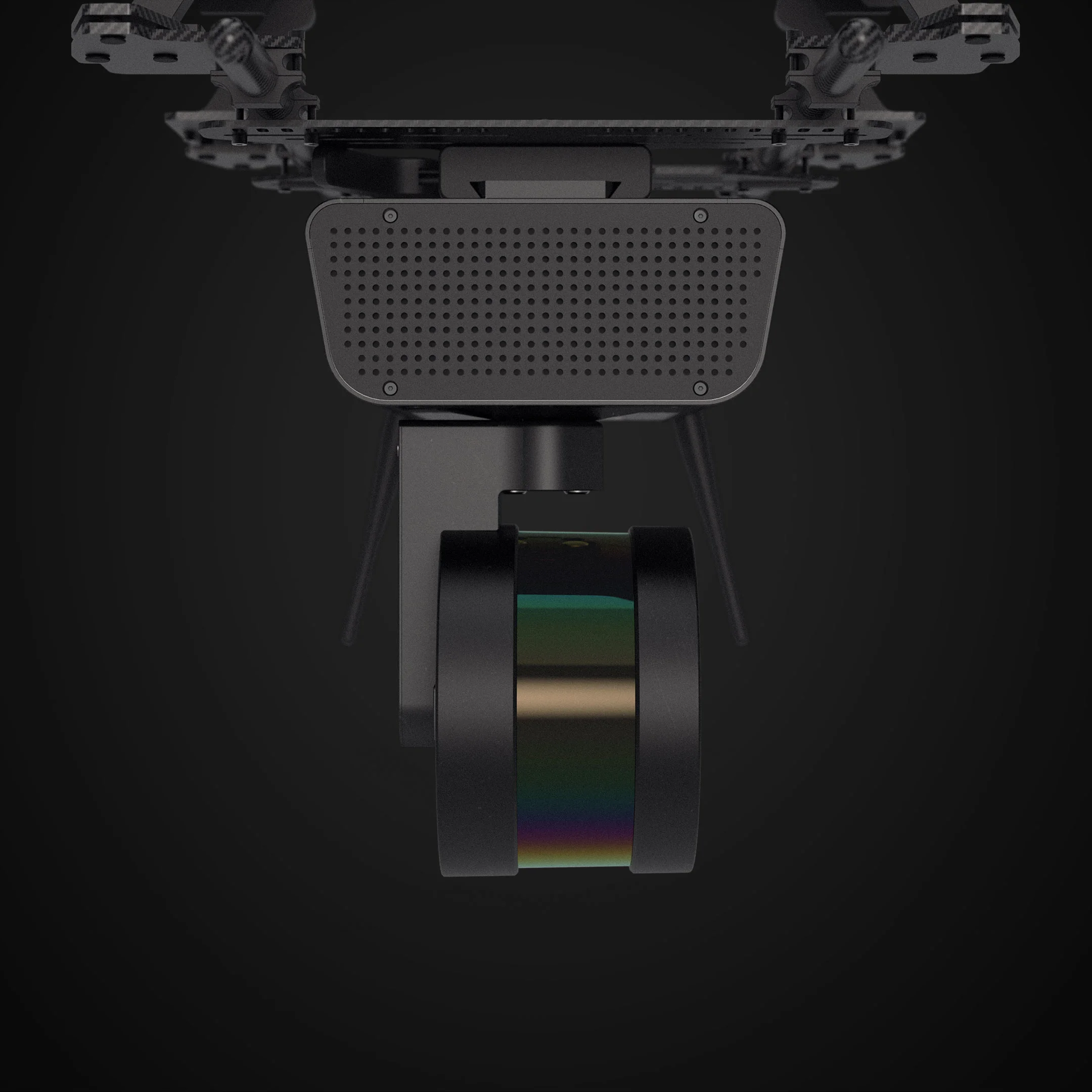
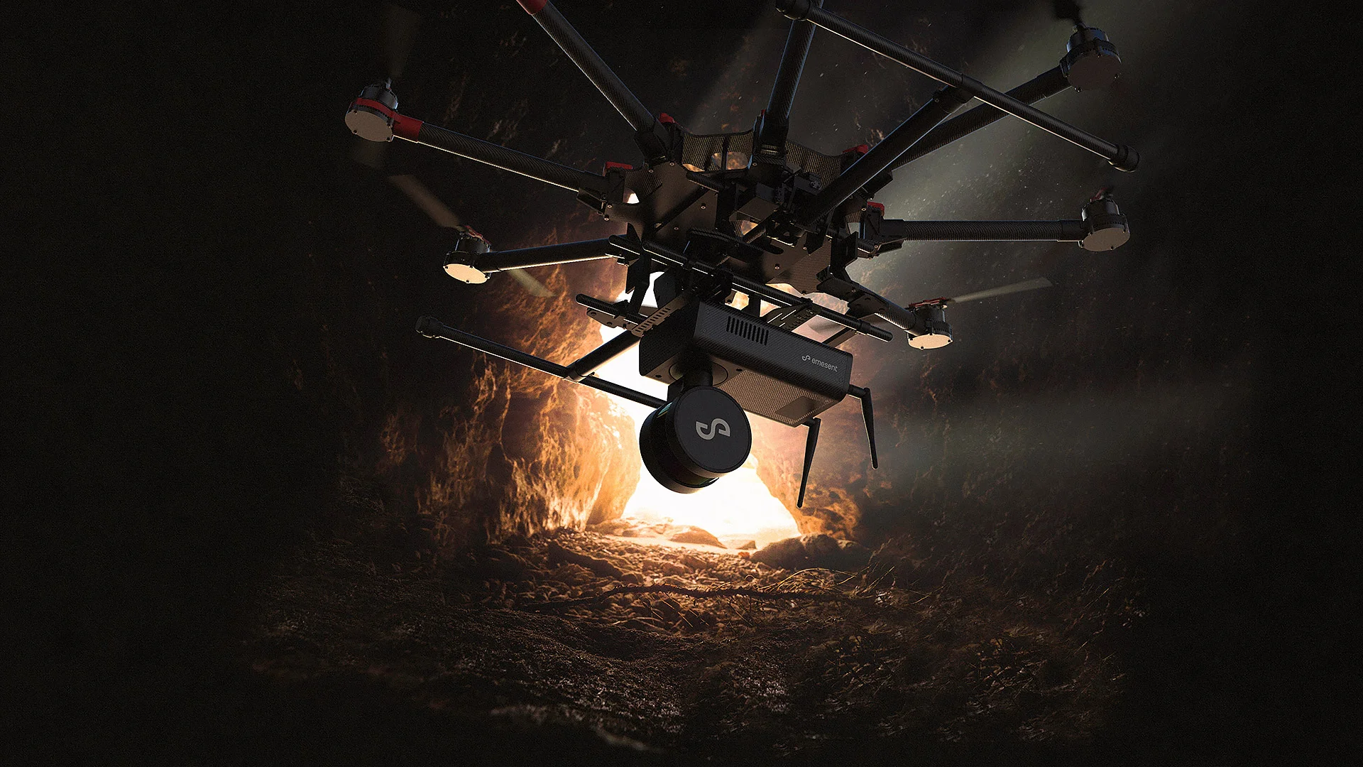
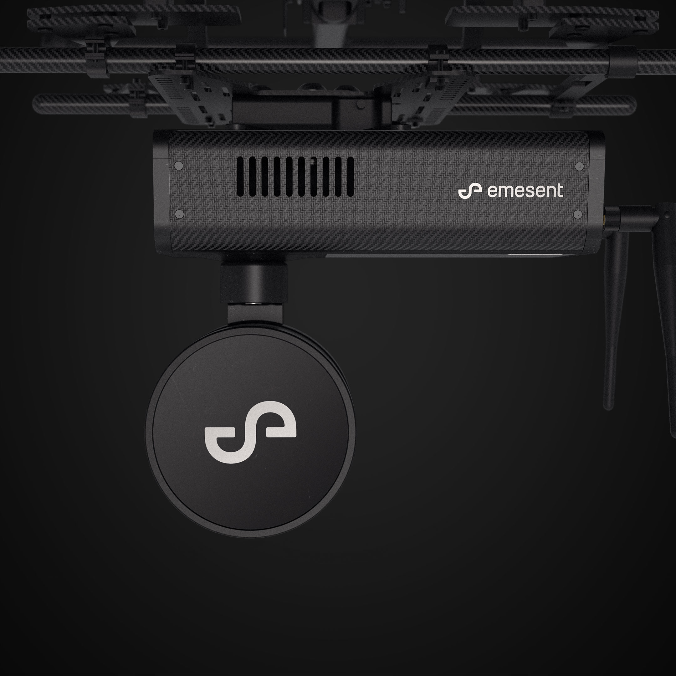
Hovermap is a LiDAR mapping and autonomy payload from Australian tech start-up Emesent. When equipped with Hovermap, industrial drones can be deployed in hazardous and challenging GPS-denied environments, collecting 3D mapping data in places where it was previously impossible.
Hovermap keeps the drone a safe distance from assets while mapping them in great detail. Bridges, telecom towers, power transmission towers and industrial plant interiors are just a few examples of locations that can now be mapped and inspected safely.


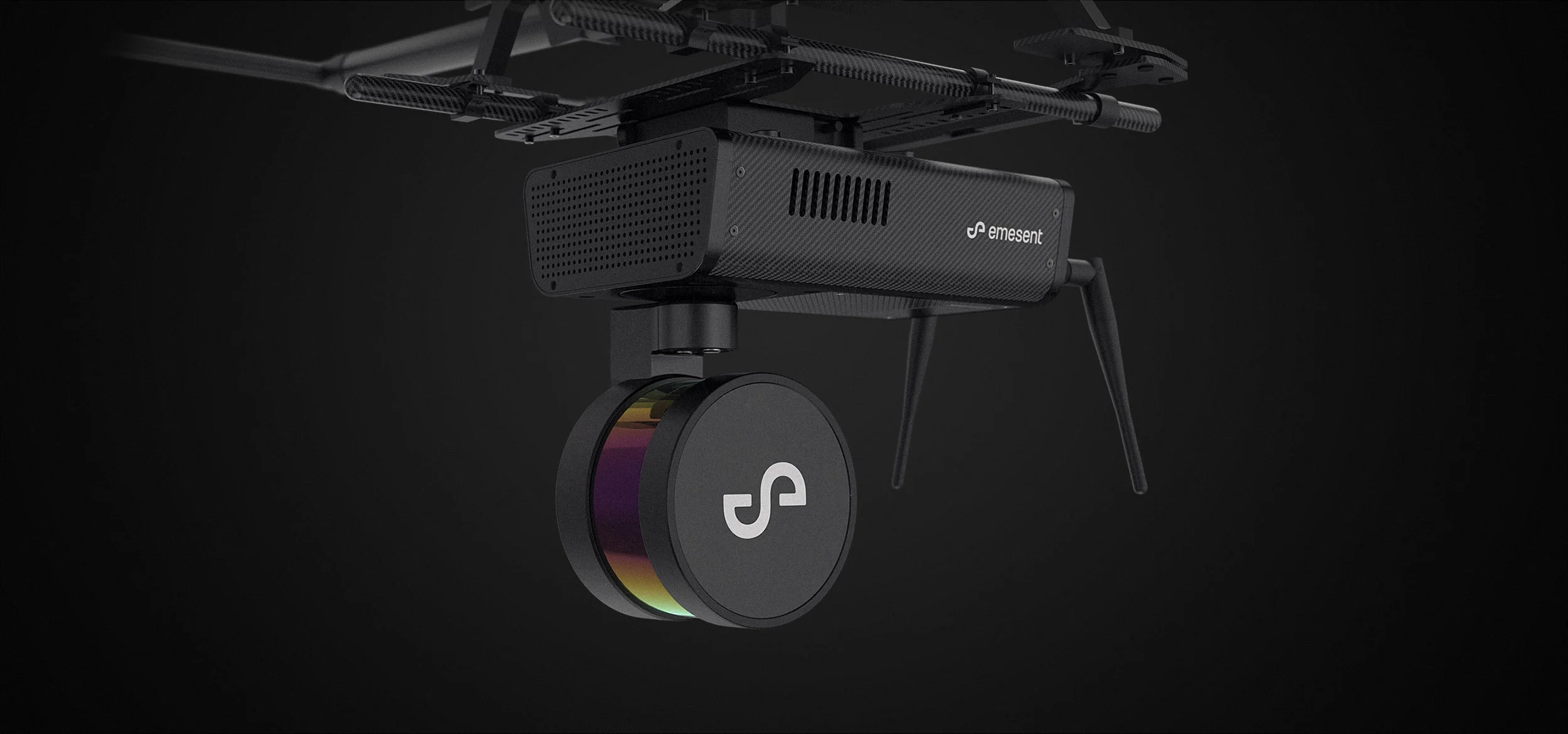
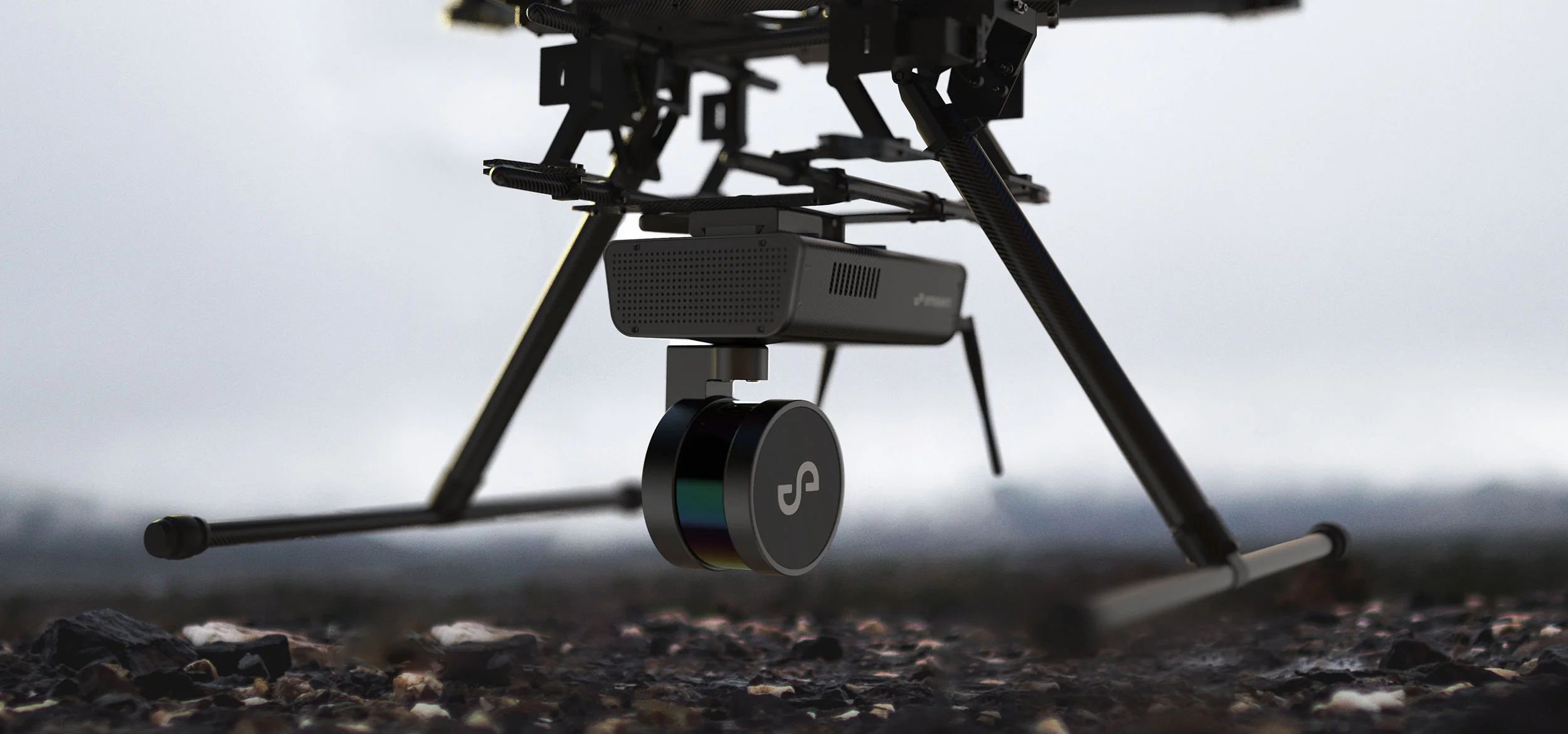
Our challenge was to design an autonomous drone payload that was extremely lightweight, and yet robust enough to withstand the demands of environments such as underground mines. We developed a machined aircraft-grade aluminium frame combined with carbon fibre composite panelling to provide a strong, lightweight enclosure able to support the rotating LiDAR while remaining stable in flight.
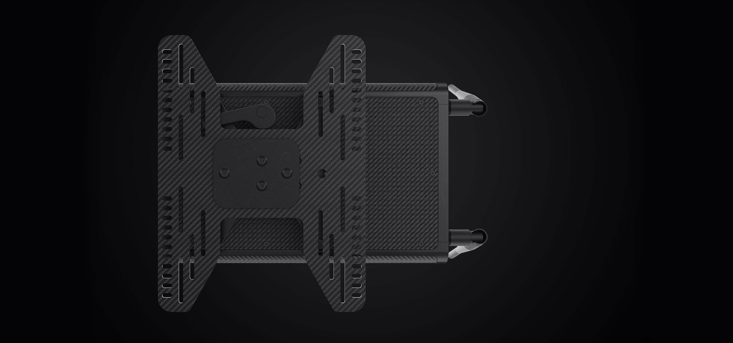
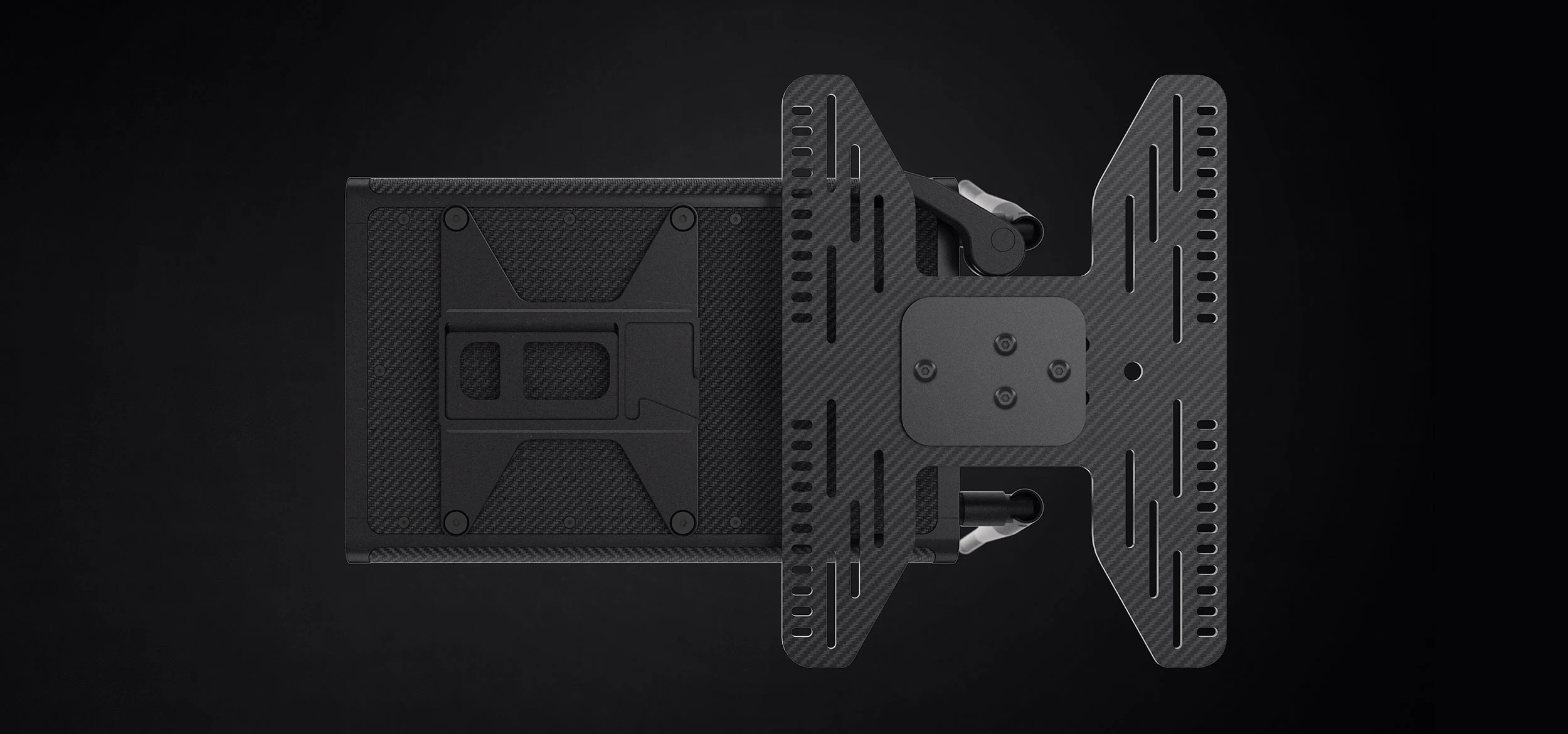
An easily setup quick-fit release system and highly-legible user interface were developed to optimise usability.